 |
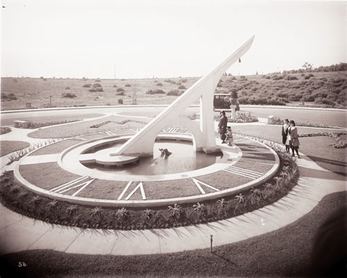
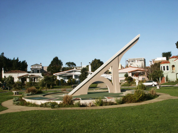
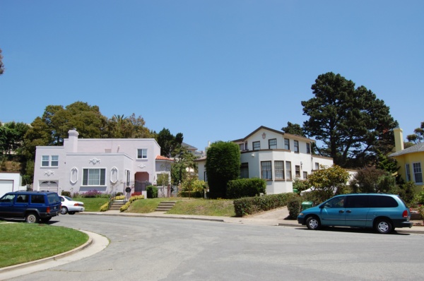
Sundial and Urbano Drive, 1912 <> 2015 | 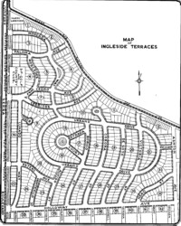 |
 |
|
| The Sundial is located at the "S" on the map of Ingleside Terraces. The plaque at the base gives the dedication date.
Here is an aerial view of the sundial. Telling time with the sundial. | |
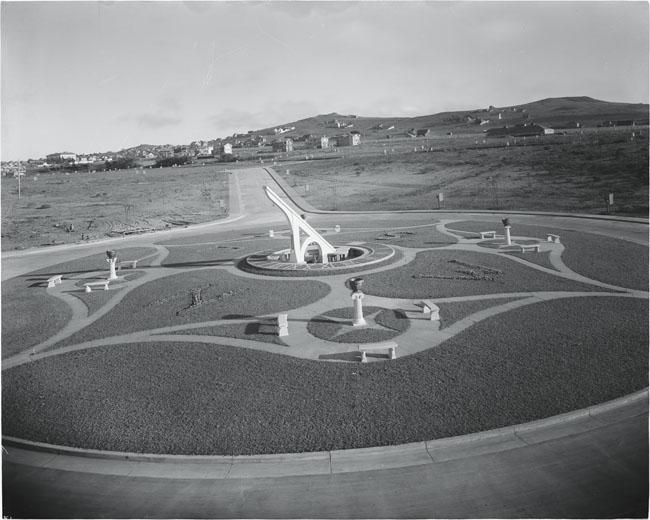
Merced Ridge in the background. Mouseover to see the sundial table on the north side of the gnomon. Here is a view showing the gonomon and sundial table from the northeast. |
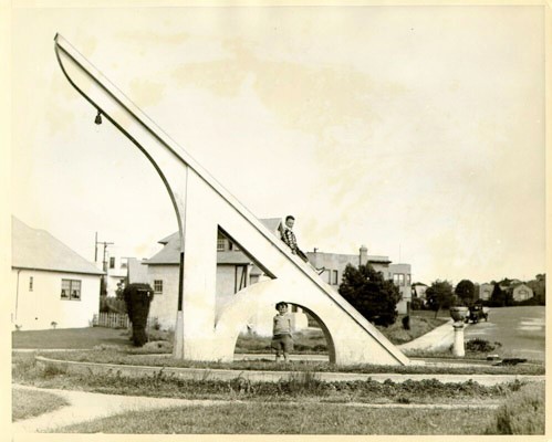
but the pool was filled in. Ingleside Terraces book digital edition pp.114-5. |
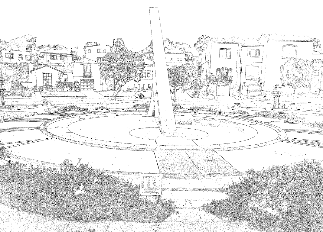
Fax Art |
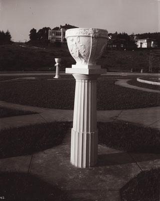 Doric Column, SW |
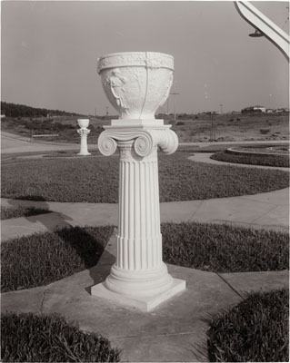 Ionic Column, NW |
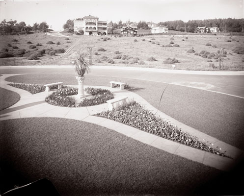 Corinthian Column, NE, with the Clubhouse in the distance. |
 |
 |
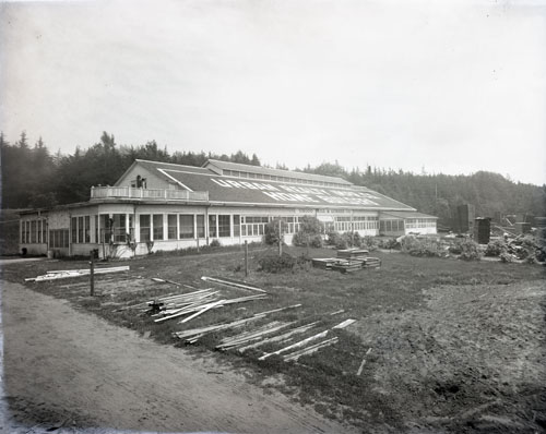
| The "Urban Realty Impr. Co." planing mill is the former stables for the Ingleside Racetrack. | |
Urbano Drive is named after the Urban Realty Improvement Company. Urbano Drive is 0.92 miles long.
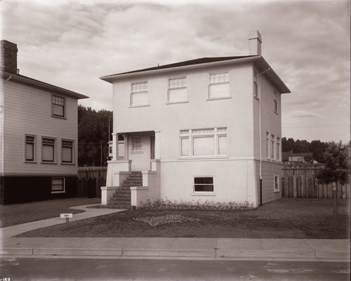 |
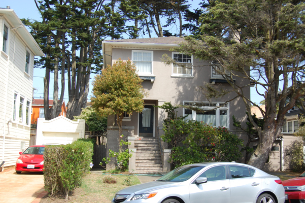 |
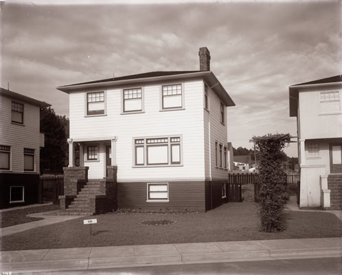 |
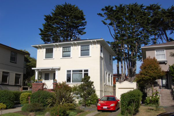 |
The circa 1912 photos are from the San Francisco Public Library, San Francisco History Center.
